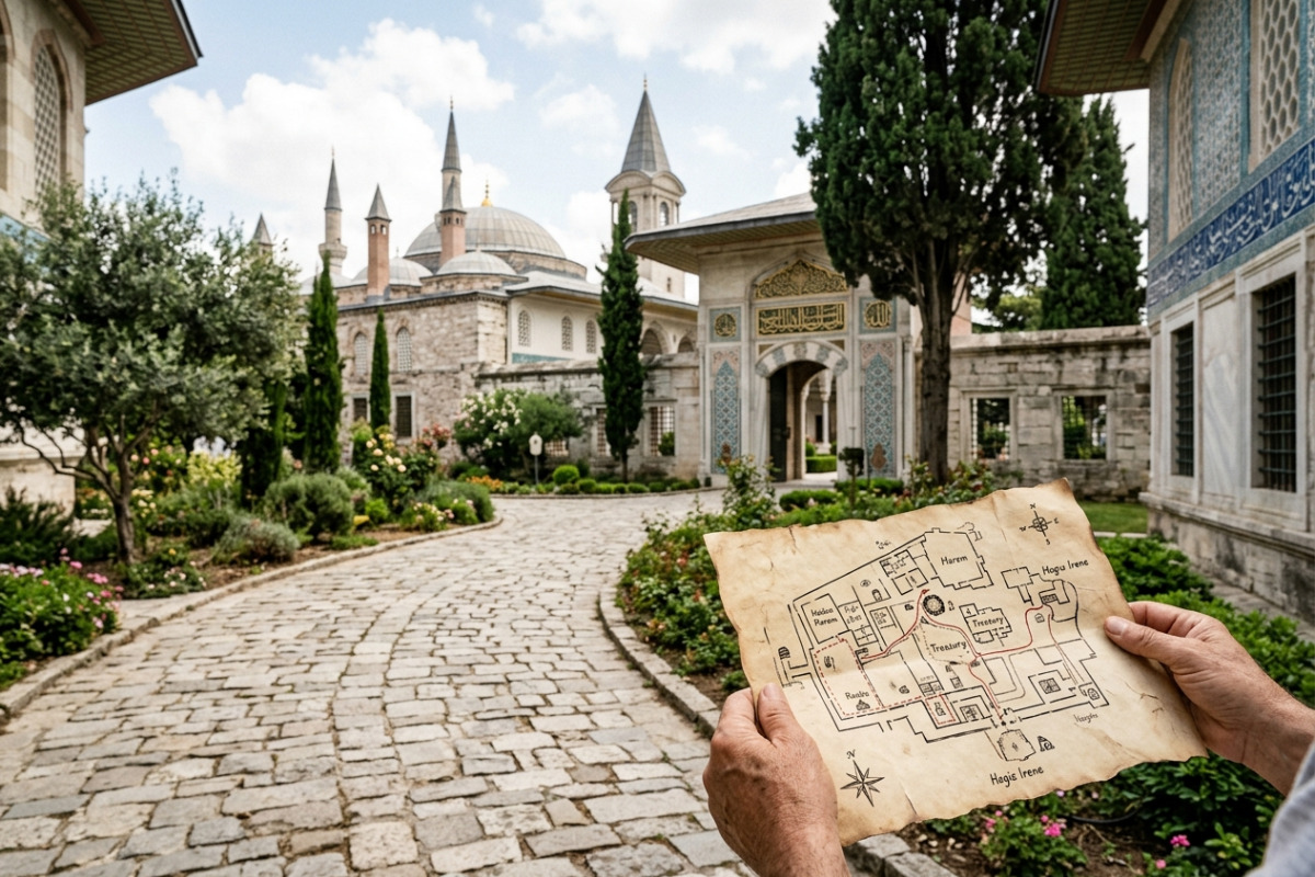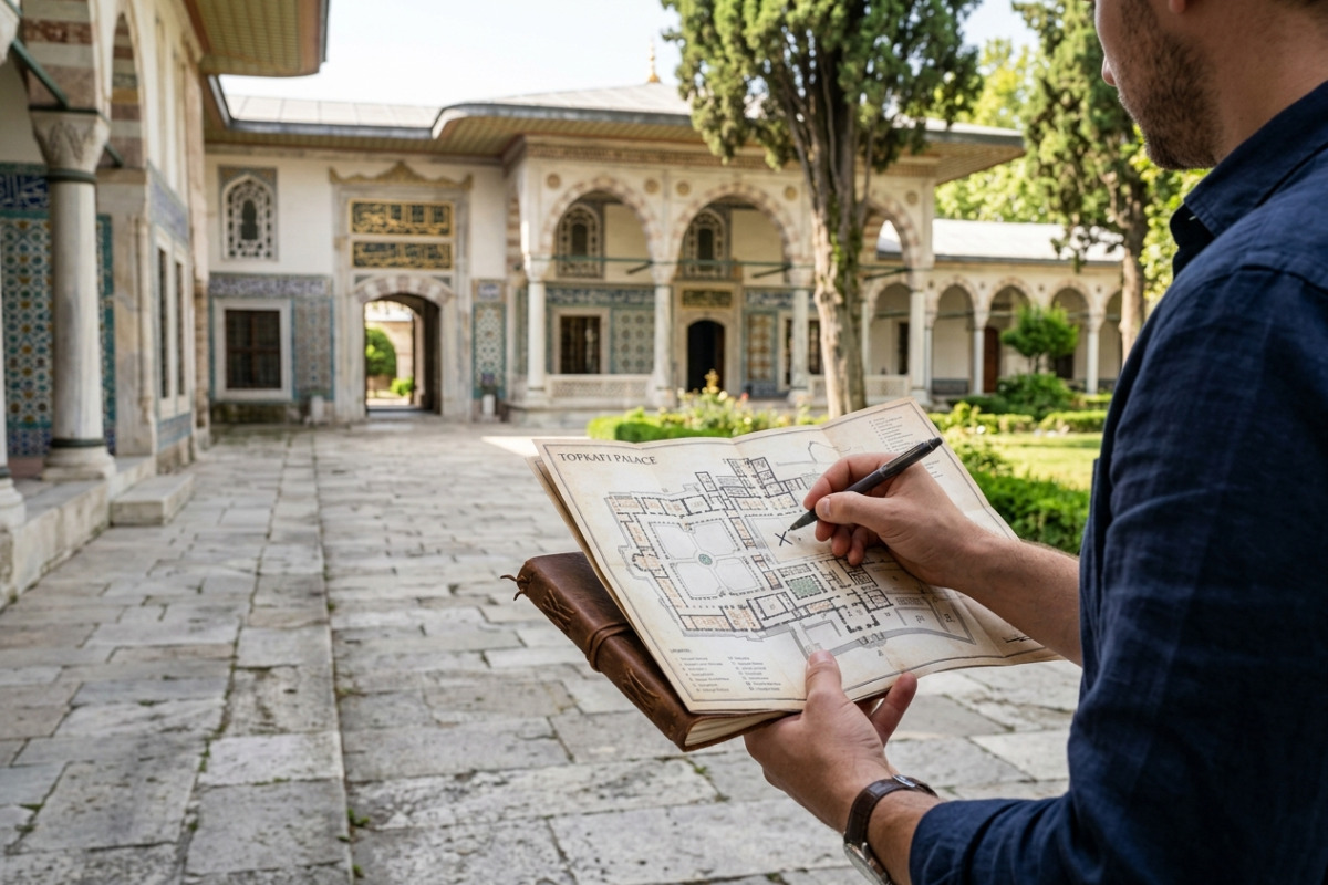
Visiting Topkapi Palace without reliable mobile data can be stressful if you haven't planned your route. A Topkapi Palace offline map gives you control: you can mark the Treasury, Harem and gardens, estimate walking times, and avoid backtracking when crowds peak. This guide shows step-by-step how to build and use an offline map tailored to Topkapi Palace so you spend less time lost and more time seeing the sights.
Why use a Topkapi Palace offline map?
Even in central Sultanahmet, thick stone walls and crowded courtyards make live navigation unreliable. An offline map stores geometry and custom pins on your device, so you can find pavilions and exits even without signal. That certainty helps you prioritize must-sees and manage time, especially if you're tight on schedule.
Beyond connectivity, offline maps reduce battery drain from constant background data and location requests. When you preload routes and mark waypoints, you also create an efficient walking sequence that minimizes queues and doubling back—giving you a calmer, more focused visit.
Preparing your offline map: apps, files and essentials
Start by choosing an app that supports offline tiles and user-created waypoints. Popular choices include Maps.me, OsmAnd and mobile apps that accept GPX/KML imports. Pick one you find intuitive: test it at home before you leave for Istanbul.
Download the Sultanahmet area or a bounding rectangle covering Topkapi Palace into the app. Save these essentials: the base map tiles, a GPX/KML file with your custom pins, and a short written checklist (open hours, ticketing, restroom locations). Keep backups—export your pins to cloud storage or email them to yourself so you can restore them if needed.
- App options: Maps.me (friendly interface), OsmAnd (detailed settings), or your preferred GPS app with GPX import.
- File types: Use GPX for simple waypoints/routes or KML if you want richer descriptions and icons.
- Pre-download: Map tiles + any audio or text notes you plan to carry.
How to create and name useful waypoints inside the palace
Good waypoint naming saves time when you navigate on-site. Use short, distinct prefixes like "TRE-" for Treasury or "HAR-" for Harem so pins appear grouped in lists. For each pin, add one sentence in the description with a visual cue ("red-tiled dome to left") and a time estimate ("15–20 min preferred visit").
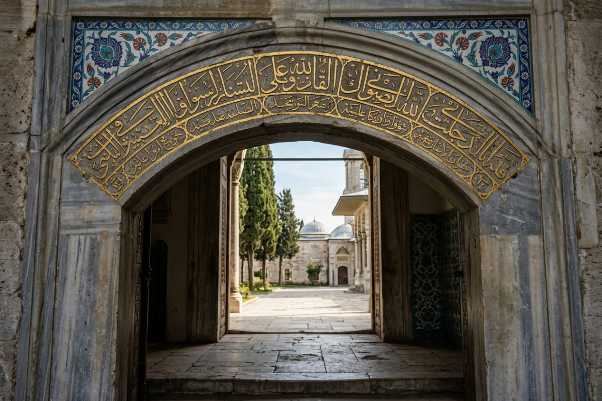
Focus waypoints on decision points and highlights rather than every doorway. Recommended pins include the main entrance, the Gate of Salutation, the Treasury (located in the Third Courtyard), the Harem, the Kitchens, the gardens, the Divan area and major exits. Adding restroom icons and the nearest ticket booth helps you react quickly to practical needs.
Sample waypoint metadata to include
Each waypoint should carry: a concise title, a 10–20 word description, expected stopping time, and a crowd-level note if you know it ("crowded late morning"). This metadata becomes invaluable when you decide whether to linger or move on.
Sample 120–180 minute waypoint route (optimized for minimal backtracking)
- Main entrance (Start) — confirm tickets and orientation; 5 minutes.
- First Courtyard & Kitchens — explore the Palace Kitchens and its porcelain collection; 20 minutes.
- Divan wing (Second Courtyard) — architectural highlights and the Council Chamber; 15 minutes (Divan).
- Harem — enter mid-visit; requires a separate ticket or combined pass; 30–45 minutes (Harem).
- Treasury (Third Courtyard) — allocate 25–30 minutes for the Imperial Treasury; use your pin to locate the entrance quickly, as physical queues are common (Treasury).
- Gardens & viewpoint — wind down with panoramic views of the Bosphorus and Golden Horn (Gardens); 15–20 minutes.
This sequence reduces crossing paths and positions the most popular indoor sections when you are still fresh. Use your offline map to time transfers between pins so you avoid bottlenecks at narrow gates.
On-site navigation tactics: battery, crowds and real-time adjustments
Even with an offline map, preparation on the day matters. Charge a power bank the night before and switch your phone to battery-saving mode while using GPS sparingly. Turn off background syncing and carry a small portable charger for quick top-ups.
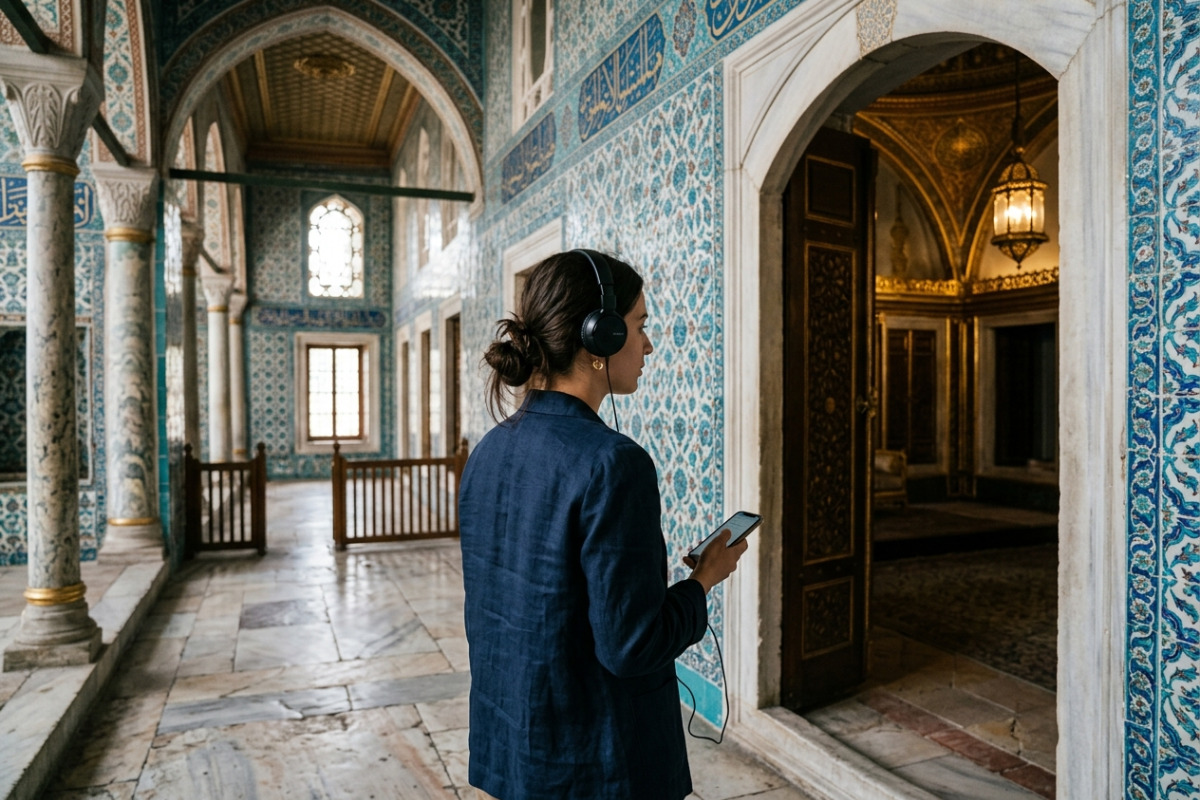
Watch how crowds move. If the route toward the Treasury looks congested, your offline map lets you choose an alternate sequence (for example, visiting the gardens first). For deeper historical context, download the official audio guide in advance to complement your map.
Tip: Save the palace exits and the nearest T1 tram stop as waypoints so you can leave efficiently at the end of your visit.
Summary and actionable next steps
Building a Topkapi Palace offline map is a small time investment that pays off: you keep your bearings, conserve battery, and adapt to crowds without stress. Start by choosing an app, preloading Sultanahmet tiles, and adding 8–12 well-named waypoints.
Before you go, buy or reserve your entry online to save time at arrival—get official tickets here: Topkapi Palace tickets. For more practical advice, check the FAQ or consult the site's visiting information to ensure your map matches current hours. Now export your GPX, drop the pins into your app, and enjoy a smoother Topkapi experience.